A Utility for Utilities.

Turn scanned construction PDFs into GIS data — in your browser.

DrawBridge helps utilities, engineers, and GIS teams upload scanned drawings, align pages on a live map, digitize features manually, and export GIS-ready data.

No ArcGIS Pro required. No AutoCAD. No account. Completely free.

Step 1 1 of 3
DrawBridge demo
Click to continue →

The Problem

Scanned plans still hold critical uncaptured GIS data.

Utilities, municipalities, engineering firms, and consultants still manage critical infrastructure records inside scanned PDFs and as-built drawings. Turning those files into usable GIS data usually means specialist software, manual tracing, and expensive staff time. DrawBridge gives you a lighter browser-based path from scanned plan to GIS-ready output.

5x
faster than manual entry
5
export formats: GDB, SHP, GeoJSON, KML, DXF
5
minutes to get started — no desktop GIS install required
How It Works

Four steps from scanned PDF to GIS-ready data.

1
Upload your PDF
Drag and drop any construction PDF. DrawBridge renders each page at high resolution.
2
Place pages on the map
Position and align your drawings over a real-world basemap. Rotate and scale to fit.
3
Digitize your features
Trace points, lines, and polygons directly on your drawings in the browser. Add labels and build GIS-ready feature layers.
4
Export and download
Export GIS-ready output in File Geodatabase, Shapefile, GeoJSON, KML, or DXF and use it in downstream GIS/CAD workflows.
Who It's For

Built for the professionals who keep infrastructure running.

🗺️

Utility Districts

Water and sewer districts managing decades of as-built records.

🏗️

Infrastructure Consultants

Delivering digitized geodatabases to municipal clients faster.

🏛️

Municipal GIS Departments

Converting legacy paper archives into queryable spatial data.

📐

Engineering Firms

Bridging the gap between scanned plans and modern GIS workflows.

Questions

Questions

Do I need an account?

No. No account, no email, no payment. Just upload and start digitizing.

What GIS formats can I export?

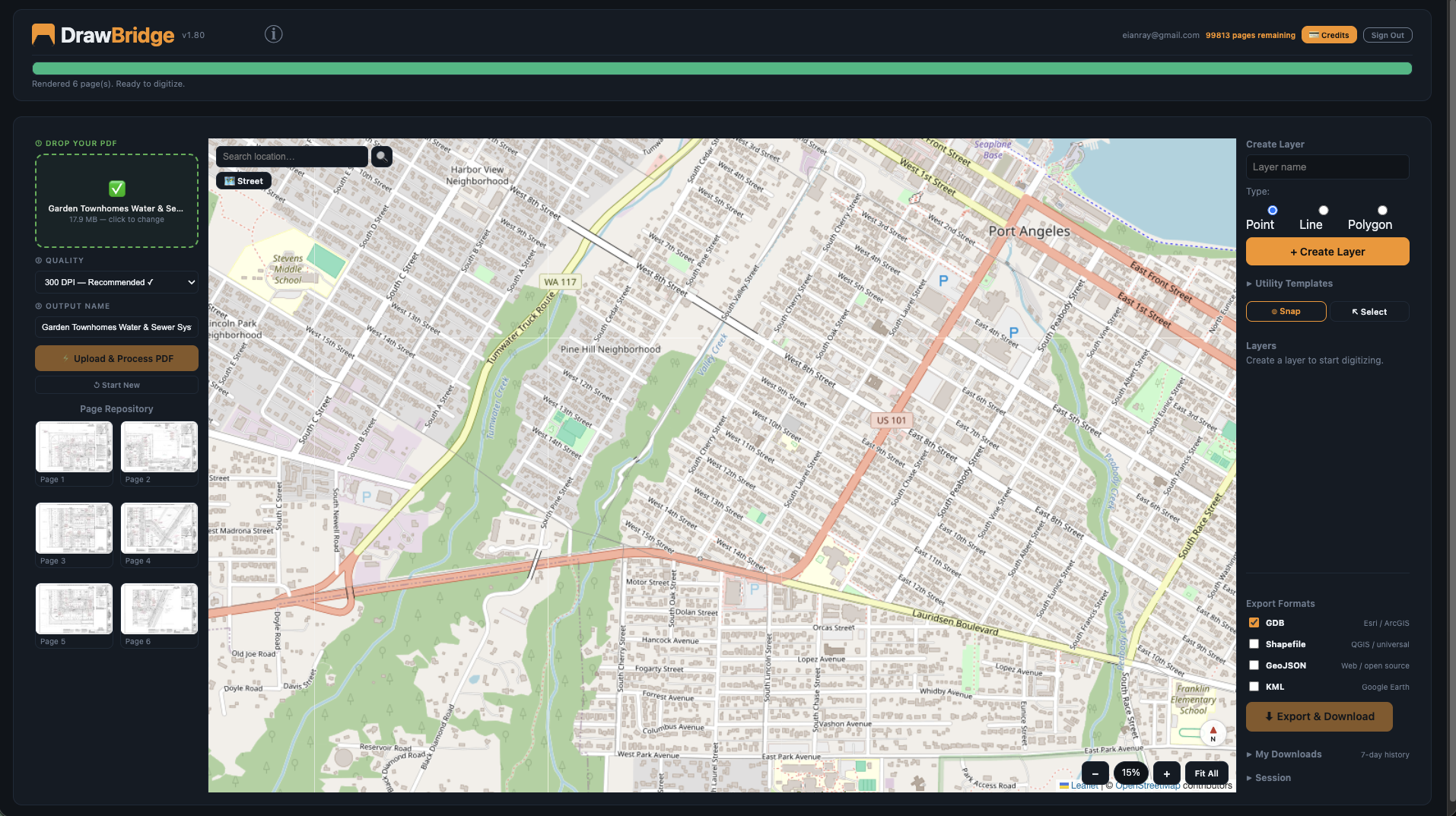
Esri File Geodatabase (.gdb), Shapefile (.shp), GeoJSON, KML, and DXF.

Do I need ArcGIS to use DrawBridge?

No. DrawBridge runs in your browser. The exported formats are compatible with ArcGIS Pro, ArcGIS Online, QGIS, and any GIS software that reads standard formats.

Is my data stored permanently?

Session data is temporary and expires after 24 hours. Once you export, your data belongs to you — download and keep it permanently. We don't store your exported files.

Does it work on tablet or mobile?

DrawBridge is designed for desktop use. A large screen makes digitizing much easier.

Contact

Get in touch

Questions about DrawBridge? We'll get back to you promptly.

moTimer = null; } } const demoPlayerEl = document.getElementById('demoPlayer'); demoPlayerEl.addEventListener('mouseenter', demoStopAuto); demoPlayerEl.addEventListener('mouseleave', demoStartAuto); demoRender(0); demoStartAuto(); y> html> y> l> y>